2012
NZ3210 : Path along the Tees flood bank, Neasham
taken 11 years ago, near to Neasham, Darlington, England
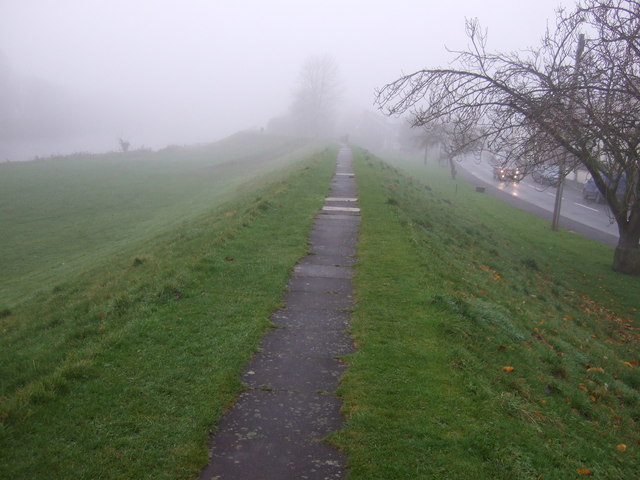
Path along the Tees flood bank, Neasham
 Map © Crown Copyright")
TIP: Click the map for more Large scale mapping
- Grid Square
- NZ3210, 32 images (more nearby 🔍)
- Photographer
- JThomas (more nearby)
- Date Taken
- Saturday, 24 November, 2012 (more nearby)
- Submitted
- Sunday, 25 November, 2012
- Subject Location
-
OSGB36:
 NZ 3269 1024 [10m precision]
WGS84: 54:29.1874N 1:29.8149W - Camera Location
-
OSGB36: NZ 32733 10261
- View Direction
- West-southwest (about 247 degrees)