2012
SH6763 : View east from Cefn Ysgolion Duon
taken 12 years ago, 4 km NE of Pont Pen-y-Benglog, Conwy, Wales
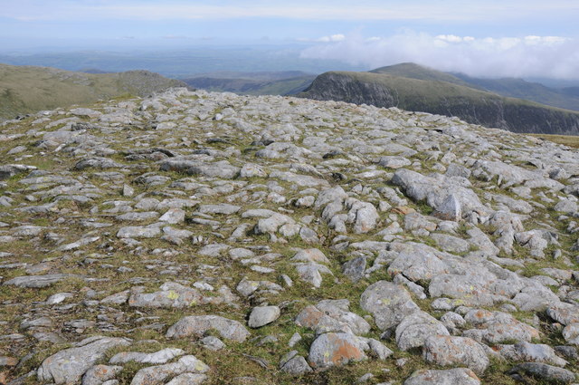
View east from Cefn Ysgolion Duon
View east from Cefn Ysgolion Duon with Y Braich visible in the middle distance to the right.
 Map © Crown Copyright")
TIP: Click the map for more Large scale mapping
- Grid Square
- SH6763, 25 images (more nearby 🔍)
- Photographer
- Philip Halling (more nearby)
- Date Taken
- Saturday, 1 September, 2012 (more nearby)
- Submitted
- Wednesday, 28 November, 2012
- Subject Location
-
OSGB36:
 SH 6789 6318 [10m precision]
WGS84: 53:8.9596N 3:58.6126W - Camera Location
-
OSGB36: SH 6776 6321
- View Direction
- EAST (about 90 degrees)