2012
SU5851 : Western edge of Pilverlands Field (42 acres)
taken 11 years ago, near to Wootton st Lawrence, Hampshire, England
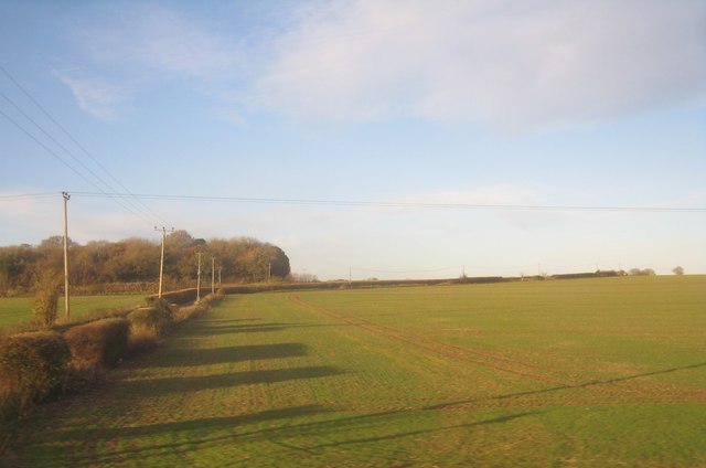
Western edge of Pilverlands Field (42 acres)
 Map © Crown Copyright")
TIP: Click the map for more Large scale mapping
- Grid Square
- SU5851, 668 images (more nearby 🔍)
- Photographer
- Mr Ignavy (more nearby)
- Date Taken
- Thursday, 29 November, 2012 (more nearby)
- Submitted
- Thursday, 29 November, 2012
- Subject Location
-
OSGB36:
 SU 5885 5190 [10m precision]
WGS84: 51:15.7937N 1:9.4763W - Camera Location
-
OSGB36: SU 5890 5173
- View Direction
- North-northwest (about 337 degrees)