2012
ST3188 : Former dairy, Rudry Street, Newport
taken 11 years ago, near to Newport/Casnewydd, Wales
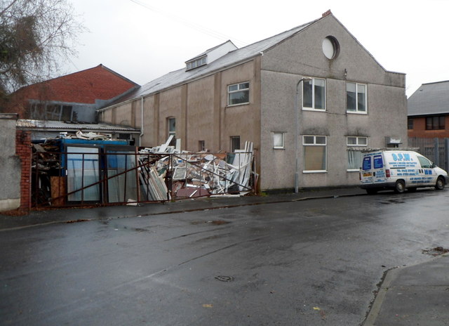
Former dairy, Rudry Street, Newport
There is no name sign to indicate the current use of these premises, which currently have a pile of building rubble in the yard. A partly destroyed name sign above the door behind the van shows
The Old Dairy.
The Old Dairy.
 Map © Crown Copyright")
TIP: Click the map for more Large scale mapping
- Grid Square
- ST3188, 3078 images (more nearby 🔍)
- Photographer
- Jaggery (more nearby)
- Date Taken
- Sunday, 25 November, 2012 (more nearby)
- Submitted
- Friday, 30 November, 2012
- Subject Location
-
OSGB36:
 ST 3148 8872 [10m precision]
WGS84: 51:35.5886N 2:59.4320W - Camera Location
-
OSGB36: ST 3145 8874
- View Direction
- East-southeast (about 112 degrees)