2012
SJ9590 : Marple Aqueduct (blue plaque)
taken 11 years ago, near to Romiley, Stockport, England
This is 1 of 21 images, with title starting with Marple in this square
Marple Aqueduct (blue plaque)
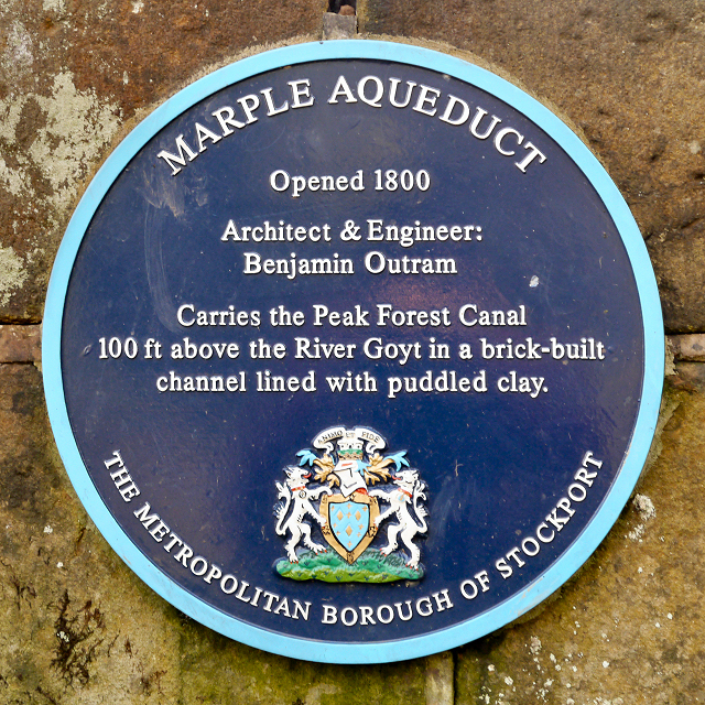
Plaque attached to the western end of the Marple Viaduct.
MARPLE AQUEDUCT
Opened 1800
Architect & Engineer:
Benjamin Outram
Carries the Peak Forest Canal
100ft above the River Goyt in a brick-built
channel lined with puddled clay
THE METROPOLITAN BOROUGH OF STOCKPORT
MARPLE AQUEDUCT
Opened 1800
Architect & Engineer:
Benjamin Outram
Carries the Peak Forest Canal
100ft above the River Goyt in a brick-built
channel lined with puddled clay
THE METROPOLITAN BOROUGH OF STOCKPORT
Peak Forest Canal
The Peak Forest Canal runs for 15 miles between Ashton under Lyne and Whaley Bridge.
It was built to link the Ashton Canal with the tramways that brought limestone from the Peak District quarries.
The Lower Peak Forest Canal forms part of the "Cheshire Ring".
LinkPennine Waterways website including a "virtual tour" of the canal
Link
 Map © Crown Copyright")
TIP: Click the map for more Large scale mapping
- Grid Square
- SJ9590, 139 images (more nearby 🔍)
- Photographer
- David Dixon (more nearby)
- Date Taken
- Wednesday, 28 November, 2012 (more nearby)
- Submitted
- Friday, 30 November, 2012
- Subject Location
-
OSGB36:
 SJ 9549 9006 [10m precision]
WGS84: 53:24.4402N 2:4.1584W - Camera Location
-
OSGB36: SJ 9549 9006
- View Direction
- EAST (about 90 degrees)