2012
NY8850 : Valley at the head of the Devil's Water
taken 11 years ago, 4 km ESE of Sinderhope, Northumberland, England
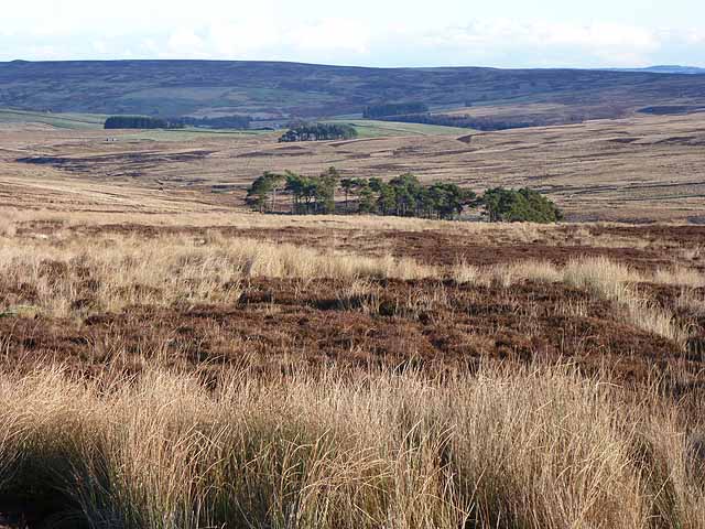
Valley at the head of the Devil's Water
Showing several small coniferous plantations. The second plantation from the camera is near Harwood Shield NY9051. Bulbeck Common rises beyond the main valley.
 Map © Crown Copyright")
TIP: Click the map for more Large scale mapping
- Grid Square
- NY8850, 18 images (more nearby 🔍)
- Photographer
- Oliver Dixon (more nearby)
- Date Taken
- Friday, 30 November, 2012 (more nearby)
- Submitted
- Sunday, 2 December, 2012
- Subject Location
-
OSGB36:
 NY 886 507 [100m precision]
WGS84: 54:51.0960N 2:10.6700W - Camera Location
-
OSGB36: NY 880 506
- View Direction
- East-northeast (about 67 degrees)