2012
NY3133 : Longdale
taken 11 years ago, 4 km WNW of Mosedale, Cumbria, England
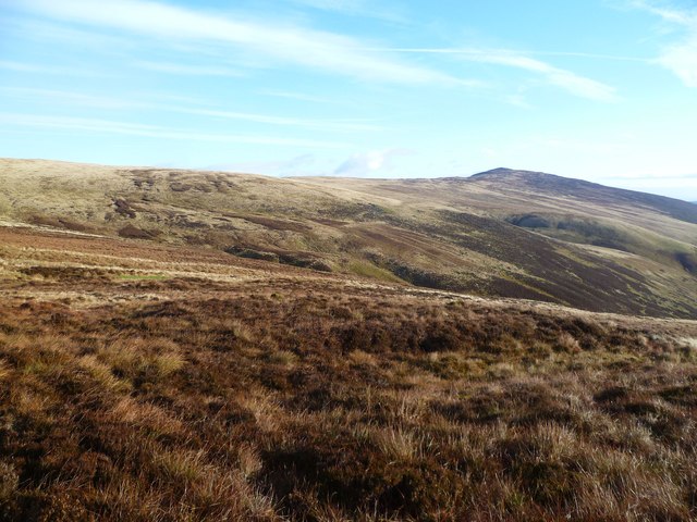
Longdale
Looking over Arm o' Grain. Carrock Fell summit in the distance.
 Map © Crown Copyright")
TIP: Click the map for more Large scale mapping
- Grid Square
- NY3133, 24 images (more nearby 🔍)
- Photographer
- Michael Graham (more nearby)
- Date Taken
- Sunday, 18 November, 2012 (more nearby)
- Submitted
- Sunday, 2 December, 2012
- Subject Location
-
OSGB36:
 NY 3183 3357 [10m precision]
WGS84: 54:41.5520N 3:3.5470W - Camera Location
-
OSGB36: NY 3118 3322
- View Direction
- East-northeast (about 67 degrees)