2012
SU6056 : Path leading out of Rookery Farm
taken 11 years ago, near to Monk Sherborne, Hampshire, England
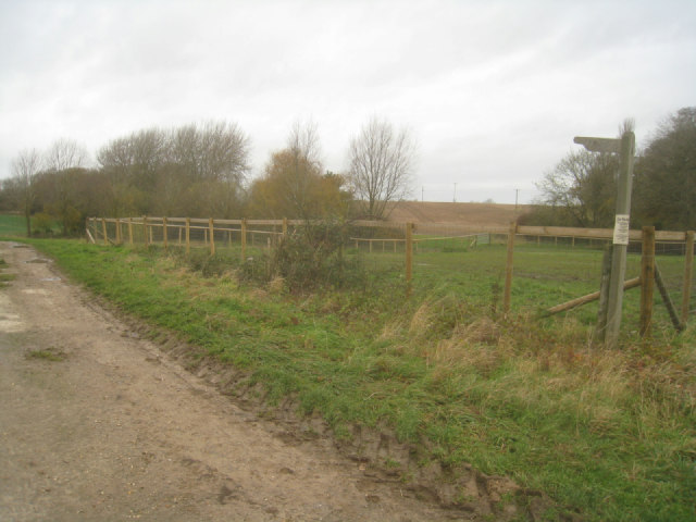
Path leading out of Rookery Farm
One of two possible paths to follow, this one eventually ends up close to the village of Ramsdell.
 Map © Crown Copyright")
TIP: Click the map for more Large scale mapping
- Grid Square
- SU6056, 66 images (more nearby 🔍)
- Photographer
- Mr Ignavy (more nearby)
- Date Taken
- Sunday, 25 November, 2012 (more nearby)
- Submitted
- Thursday, 6 December, 2012
- Subject Location
-
OSGB36:
 SU 6070 5607 [10m precision]
WGS84: 51:18.0316N 1:7.8432W - Camera Location
-
OSGB36: SU 6072 5605
- View Direction
- Northwest (about 315 degrees)