2012
TM1941 : Stour and Orwell Walk near Ravenswood
taken 12 years ago, near to Nacton, Suffolk, England
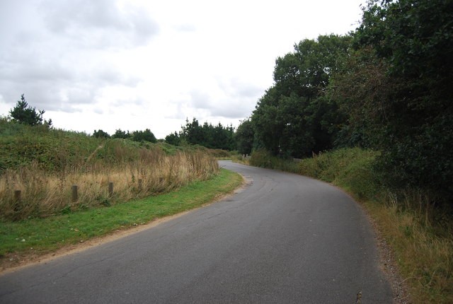
Stour and Orwell Walk near Ravenswood
The Stour & Orwell Walk is a 42 mile long extension west from Felixstowe to the Suffolk Coast and Heaths Path and follows the coast and heaths along the estuaries of the Orwell and the Stour, going around the Shotley peninsula to Cattawade, providing links with the Essex Way (at Manningtree, across the river) and the Stour Valley Path (at Cattawade).
See other images of Stour & Orwell Walk
See other images of Stour & Orwell Walk
 Map © Crown Copyright")
TIP: Click the map for more Large scale mapping
- Grid Square
- TM1941, 94 images (more nearby 🔍)
- Photographer
- N Chadwick (more nearby)
- Date Taken
- Sunday, 23 September, 2012 (more nearby)
- Submitted
- Friday, 7 December, 2012
- Subject Location
-
OSGB36:
 TM 1984 4132 [10m precision]
WGS84: 52:1.6022N 1:12.1866E - Camera Location
-
OSGB36: TM 1981 4129
- View Direction
- Northeast (about 45 degrees)