2012
TM2041 : A14 bridge over the A1189
taken 12 years ago, near to Nacton, Suffolk, England
This is 1 of 2 images, with title A14 bridge over the A1189 in this square
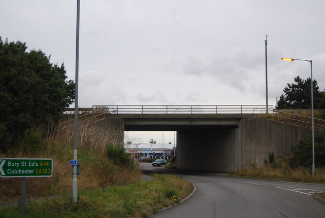
A14 bridge over the A1189
A14 Road
The A14 is a major road running 127 miles from Felixstowe to the Catthorpe Interchange, the junction of the M1 and M6 motorways near Rugby. The road connects East Anglia with the West Midlands and The North.
Wikipedia: Link
A1189 Road
The A1189 runs 3 miles through Ipswich from Rushmere Heath to Nacton Heath.
 Map © Crown Copyright")
TIP: Click the map for more Large scale mapping
- Grid Square
- TM2041, 40 images (more nearby 🔍)
- Photographer
- N Chadwick (more nearby)
- Date Taken
- Sunday, 23 September, 2012 (more nearby)
- Submitted
- Friday, 7 December, 2012
- Subject Location
-
OSGB36:
 TM 2017 4117 [10m precision]
WGS84: 52:1.5136N 1:12.4690E - Camera Location
-
OSGB36: TM 2020 4110
- View Direction
- North-northwest (about 337 degrees)