2012
NR7305 : Sheep Island Near Sanda Island
taken 12 years ago, 4 km S of Macharioch, Argyll And Bute, Scotland
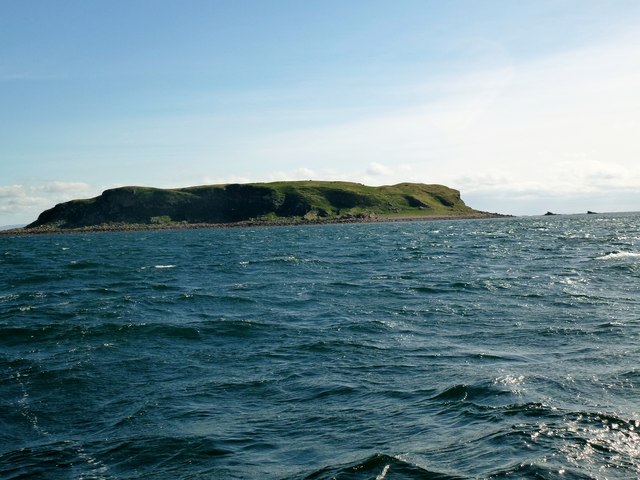
Sheep Island Near Sanda Island
Photo of Sheep Island from RIB on way from Campbeltown to Sanda Island.
 Map © Crown Copyright")
TIP: Click the map for more Large scale mapping
- Grid Square
- NR7305, 6 images (more nearby 🔍)
- Photographer
- Rude Health (more nearby)
- Date Taken
- Sunday, 29 April, 2012 (more nearby)
- Submitted
- Saturday, 8 December, 2012
- Subject Location
-
OSGB36:
 NR 732 054 [100m precision]
WGS84: 55:17.4332N 5:34.3310W - Camera Location
-
OSGB36: NR 732 053
- View Direction
- Northeast (about 45 degrees)