2007
SU1211 : Junction of Forestry Tracks nr Alderholt
taken 17 years ago, near to Alderholt, Dorset, England
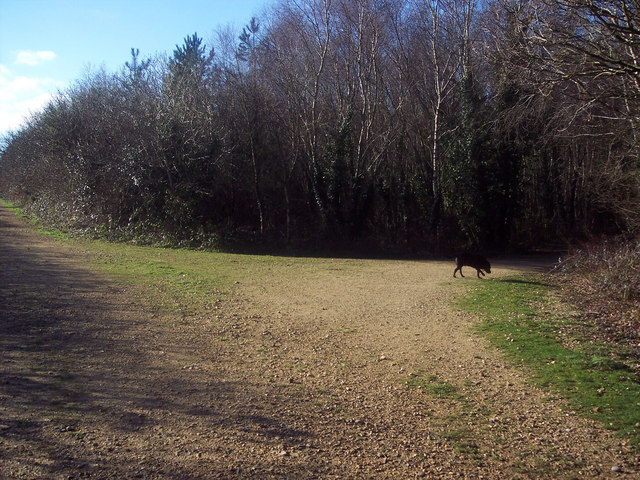
Junction of Forestry Tracks nr Alderholt
 Map © Crown Copyright")
TIP: Click the map for more Large scale mapping
- Grid Square
- SU1211, 22 images (more nearby 🔍)
- Photographer
- Maigheach-gheal (more nearby)
- Date Taken
- Wednesday, 31 January, 2007 (more nearby)
- Submitted
- Wednesday, 31 January, 2007
- Subject Location
-
OSGB36:
 SU 128 114 [100m precision]
WGS84: 50:54.1268N 1:49.1094W - Camera Location
-
OSGB36: SU 129 114
- View Direction
- WEST (about 270 degrees)