2012
NG3865 : Driving cattle on the Totescore road
taken 11 years ago, near to Scuddaborg, Isle of Skye, Scotland
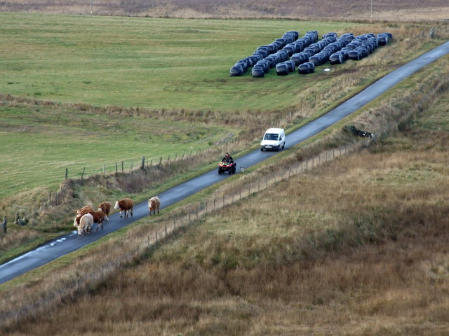
Driving cattle on the Totescore road
 Map © Crown Copyright")
TIP: Click the map for more Large scale mapping
- Grid Square
- NG3865, 45 images (more nearby 🔍)
- Photographer
- Dave Fergusson (more nearby)
- Date Taken
- Monday, 10 December, 2012 (more nearby)
- Submitted
- Tuesday, 11 December, 2012
- Subject Location
-
OSGB36:
 NG 3853 6585 [10m precision]
WGS84: 57:36.3974N 6:22.7383W - Camera Location
-
OSGB36: NG 3879 6589
- View Direction
- WEST (about 270 degrees)