2012
TQ3798 : Building by the Lea Navigation
taken 11 years ago, near to Sewardstone, Essex, England
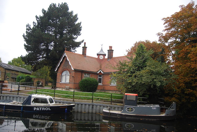
Building by the Lea Navigation
The Lee Navigation is a canalised river incorporating the River Lea (River Lee). It runs from Hertford Castle Weir to the River Thames at Bow Creek; its first lock is Hertford Lock and its last Bow Locks.
See Wikipedia article: Link
See other images of Lea Navigation (Lee Navigation)
See Wikipedia article: Link
See other images of Lea Navigation (Lee Navigation)
 Map © Crown Copyright")
TIP: Click the map for more Large scale mapping
- Grid Square
- TQ3798, 120 images (more nearby 🔍)
- Photographer
- N Chadwick (more nearby)
- Date Taken
- Sunday, 21 October, 2012 (more nearby)
- Submitted
- Thursday, 13 December, 2012
- Subject Location
-
OSGB36:
 TQ 3712 9819 [10m precision]
WGS84: 51:39.9459N 0:1.1241W - Camera Location
-
OSGB36: TQ 3715 9822
- View Direction
- Southwest (about 225 degrees)