2005
SK5822 : Wymeswold disused airfield
taken 19 years ago, near to Hoton, Leicestershire, England
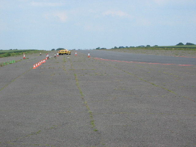
Wymeswold disused airfield
This is now been converted into a race track and is used for sports car experiences.
 Map © Crown Copyright")
TIP: Click the map for more Large scale mapping
- Grid Square
- SK5822, 20 images (more nearby 🔍)
- Photographer
- Chris McLean (more nearby)
- Date Taken
- Saturday, 18 June, 2005 (more nearby)
- Submitted
- Tuesday, 2 August, 2005
- Subject Location
-
OSGB36:
 SK 58 22 [1000m precision]
WGS84: 52:47.8140N 1:8.0295W