2012
NY7686 : Disused Railway Line below High Thorneyburn
taken 11 years ago, 3 km from Lanehead, Northumberland, England
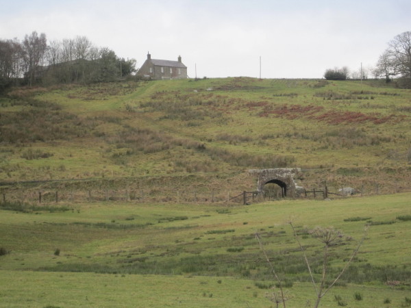
Disused Railway Line below High Thorneyburn
 Map © Crown Copyright")
TIP: Click the map for more Large scale mapping
- Grid Square
- NY7686, 16 images (more nearby 🔍)
- Photographer
- Les Hull (more nearby)
- Date Taken
- Wednesday, 28 November, 2012 (more nearby)
- Submitted
- Saturday, 15 December, 2012
- Subject Location
-
OSGB36:
 NY 7672 8650 [10m precision]
WGS84: 55:10.3351N 2:22.0216W - Camera Location
-
OSGB36: NY 7675 8639
- View Direction
- North-northwest (about 337 degrees)