2012
NZ3278 : Cycle /foot path
taken 12 years ago, near to Seaton Sluice, Northumberland, England
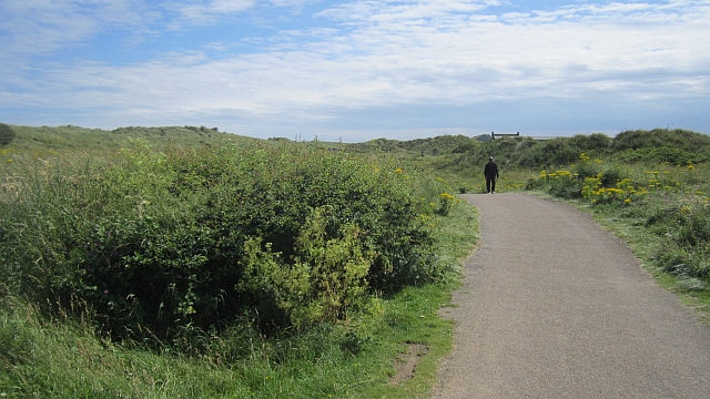
Cycle /foot path
A well surfaced road parallel with the busy A193.
 Map © Crown Copyright")
TIP: Click the map for more Large scale mapping
- Grid Square
- NZ3278, 62 images (more nearby 🔍)
- Photographer
- Richard Webb (more nearby)
- Date Taken
- Tuesday, 31 July, 2012 (more nearby)
- Submitted
- Sunday, 23 December, 2012
- Subject Location
-
OSGB36:
 NZ 3218 7879 [10m precision]
WGS84: 55:6.1492N 1:29.8322W - Camera Location
-
OSGB36: NZ 3218 7881
- View Direction
- SOUTH (about 180 degrees)