2007
TM2553 : Hall Farm, close to Boulge church
taken 17 years ago, near to Bredfield, Suffolk, England
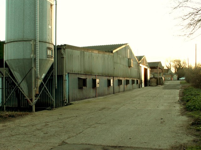
Hall Farm, close to Boulge church
 Map © Crown Copyright")
TIP: Click the map for more Large scale mapping
- Grid Square
- TM2553, 16 images (more nearby 🔍)
- Photographer
- Robert Edwards (more nearby)
- Date Taken
- Friday, 2 February, 2007 (more nearby)
- Submitted
- Sunday, 4 February, 2007
- Subject Location
-
OSGB36:
 TM 252 531 [100m precision]
WGS84: 52:7.8380N 1:17.3690E - Camera Location
-
OSGB36: TM 252 532
- View Direction
- South-southwest (about 202 degrees)