2013
SE4028 : Taylor Woodrow's Kensington Place development
taken 11 years ago, near to Great Preston, Leeds, England
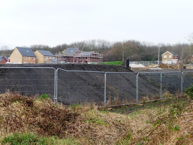
Taylor Woodrow's Kensington Place development
North of the former Allerton Main collieries railway line, and south of Queen Street. Even the developers can't decide if it is in Great Preston or Allerton Bywater.
 Map © Crown Copyright")
TIP: Click the map for more Large scale mapping
- Grid Square
- SE4028, 81 images (more nearby 🔍)
- Photographer
- Christine Johnstone (more nearby)
- Date Taken
- Saturday, 5 January, 2013 (more nearby)
- Submitted
- Saturday, 5 January, 2013
- Subject Location
-
OSGB36:
 SE 4043 2866 [10m precision]
WGS84: 53:45.1647N 1:23.3002W - Camera Location
-
OSGB36: SE 4055 2852
- View Direction
- Northwest (about 315 degrees)