2005
SK8029 : Old Industrial Track, near Eaton
taken 19 years ago, near to Branston, Leicestershire, England
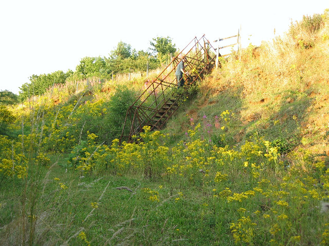
Old Industrial Track, near Eaton
The public footpath follows an old track associated with the ironstone workings in between Eaton and Branston. This metal ladder gives access to the field at the top of the "quarry" rock face. My husband illustrates the scale.
 Map © Crown Copyright")
TIP: Click the map for more Large scale mapping
- Grid Square
- SK8029, 83 images (more nearby 🔍)
- Photographer
- Kate Jewell (more nearby)
- Date Taken
- Tuesday, 2 August, 2005 (more nearby)
- Submitted
- Wednesday, 3 August, 2005
- Subject Location
-
OSGB36:
 SK 806 292 [100m precision]
WGS84: 52:51.2882N 0:48.2142W - Camera Location
-
OSGB36: SK 806 292
- View Direction
- Northeast (about 45 degrees)