2007
NS7229 : Ponesk Burn
taken 17 years ago, 3 km from Glenbuck, East Ayrshire, Scotland
This is 1 of 2 images, with title Ponesk Burn in this square
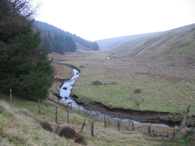
Ponesk Burn
 Map © Crown Copyright")
TIP: Click the map for more Large scale mapping
- Grid Square
- NS7229, 9 images (more nearby 🔍)
- Photographer
- Chris Wimbush (more nearby)
- Date Taken
- Sunday, 4 February, 2007 (more nearby)
- Submitted
- Sunday, 4 February, 2007
- Subject Location
-
OSGB36:
 NS 724 298 [100m precision]
WGS84: 55:32.7099N 4:1.4334W - Camera Location
-
OSGB36: NS 7233 2994
- View Direction
- Southeast (about 135 degrees)