2013
ST0996 : Taff Trail between Quaker's Yard and Edwardsville
taken 11 years ago, near to Treharris, Merthyr Tydfil/Merthyr Tudful, Wales
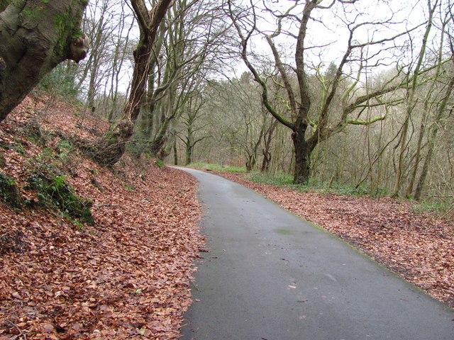
Taff Trail between Quaker's Yard and Edwardsville
A well surfaced path. This is a pleasant section of the trail - trees on either side of the path and the river down below to the right.
 Map © Crown Copyright")
TIP: Click the map for more Large scale mapping
- Grid Square
- ST0996, 149 images (more nearby 🔍)
- Photographer
- John Light (more nearby)
- Date Taken
- Friday, 4 January, 2013 (more nearby)
- Submitted
- Saturday, 12 January, 2013
- Subject Location
-
OSGB36:
 ST 0924 9675 [10m precision]
WGS84: 51:39.7305N 3:18.8154W - Camera Location
-
OSGB36: ST 0926 9676
- View Direction
- West-southwest (about 247 degrees)