2013
NO5086 : Fungle road
taken 11 years ago, 4 km SSW of Ballochan, Aberdeenshire, Scotland
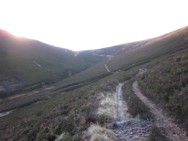
Fungle road
The Fungle change from a 4WD track to a well built path that zig-zags up the final climb to the Slochd (bealach)
 Map © Crown Copyright")
TIP: Click the map for more Large scale mapping
- Grid Square
- NO5086, 3 images (more nearby 🔍)
- Photographer
- Paul Atkinson (more nearby)
- Date Taken
- Wednesday, 9 January, 2013 (more nearby)
- Submitted
- Sunday, 13 January, 2013
- Subject Location
-
OSGB36:
 NO 504 865 [100m precision]
WGS84: 56:58.0612N 2:48.9549W - Camera Location
-
OSGB36: NO 507 869
- View Direction
- South-southwest (about 202 degrees)