2007
TF0132 : King Street, Hanby
taken 17 years ago, near to Sapperton, Lincolnshire, England
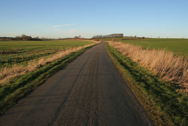
King Street, Hanby
This old Roman road runs between Bourne and Ancaster. The trees on the centre horizon are in TF0133.
 Map © Crown Copyright")
TIP: Click the map for more Large scale mapping
- Grid Square
- TF0132, 9 images (more nearby 🔍)
- Photographer
- Kate Jewell (more nearby)
- Date Taken
- Saturday, 3 February, 2007 (more nearby)
- Submitted
- Monday, 5 February, 2007
- Subject Location
-
OSGB36:
 TF 018 329 [100m precision]
WGS84: 52:53.0784N 0:29.2427W - Camera Location
-
OSGB36: TF 019 327
- View Direction
- North-northwest (about 337 degrees)