2013
NT2639 : Flooded path
taken 11 years ago, near to Kings Muir, Scottish Borders, Scotland
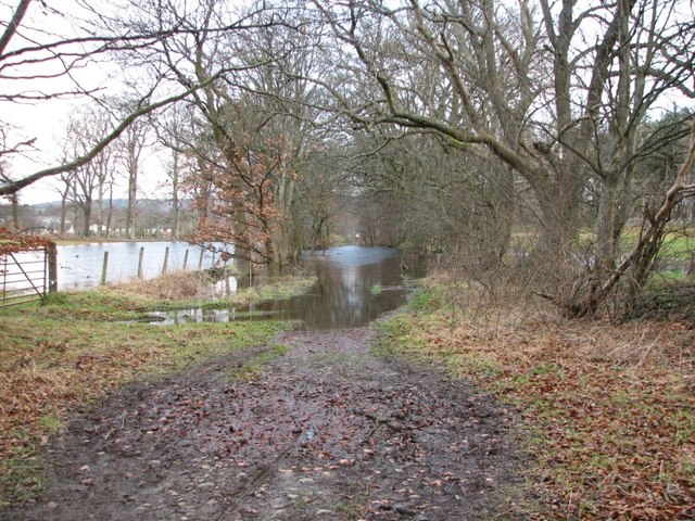
Flooded path
Very bad flooding on this section of track - even the fields either side are full of water.
 Map © Crown Copyright")
TIP: Click the map for more Large scale mapping
- Grid Square
- NT2639, 98 images (more nearby 🔍)
- Photographer
- Callum Black (more nearby)
- Date Taken
- Tuesday, 1 January, 2013 (more nearby)
- Submitted
- Friday, 18 January, 2013
- Subject Location
-
OSGB36:
 NT 2602 3917 [10m precision]
WGS84: 55:38.4257N 3:10.6114W - Camera Location
-
OSGB36: NT 2609 3912
- View Direction
- Northwest (about 315 degrees)