2007
NZ3366 : Disused Road, East Howdon
taken 17 years ago, near to North Shields, North Tyneside, England
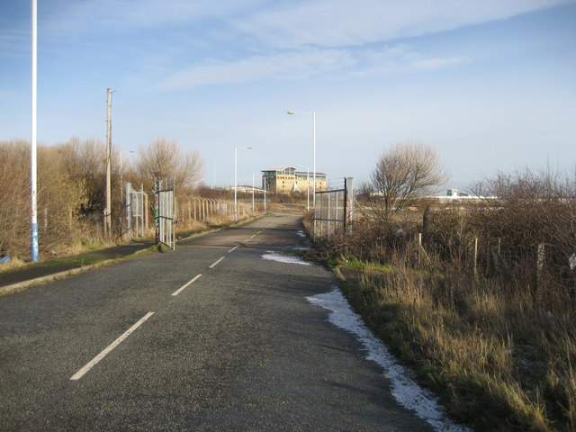
Disused Road, East Howdon
This road leads to a large area of waste land just south of Howdon Road (A187) - I suspect this was the old road that bore this number.
 Map © Crown Copyright")
TIP: Click the map for more Large scale mapping
- Grid Square
- NZ3366, 52 images (more nearby 🔍)
- Photographer
- Chris Heaton (more nearby)
- Date Taken
- Tuesday, 23 January, 2007 (more nearby)
- Submitted
- Monday, 5 February, 2007
- Subject Location
-
OSGB36:
 NZ 339 668 [100m precision]
WGS84: 54:59.6888N 1:28.2906W - Camera Location
-
OSGB36: NZ 338 668
- View Direction
- EAST (about 90 degrees)