2007
SU2065 : Park Farm, Savernake, Marlborough
taken 17 years ago, near to Cadley, Wiltshire, England
This is 1 of 2 images, with title Park Farm, Savernake, Marlborough in this square
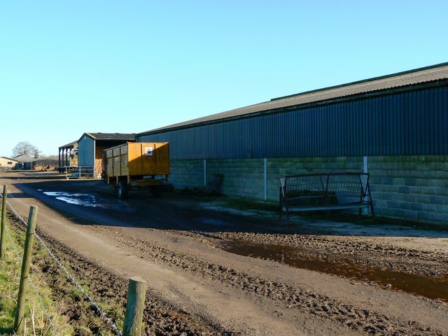
Park Farm, Savernake, Marlborough
A closer look at the site of a series of large explosions that took place on 2nd January 1946. This and several other images can be seen in this gallery Link
 Map © Crown Copyright")
TIP: Click the map for more Large scale mapping
- Grid Square
- SU2065, 9 images (more nearby 🔍)
- Photographer
- Brian Robert Marshall (more nearby)
- Date Taken
- Saturday, 3 February, 2007 (more nearby)
- Submitted
- Monday, 5 February, 2007
- Subject Location
-
OSGB36:
 SU 208 654 [100m precision]
WGS84: 51:23.2360N 1:42.1486W - Camera Location
-
OSGB36: SU 207 653
- View Direction
- Northeast (about 45 degrees)