2013
TQ1447 : View north-west along Logmore Lane
taken 11 years ago, near to Westcott, Surrey, England
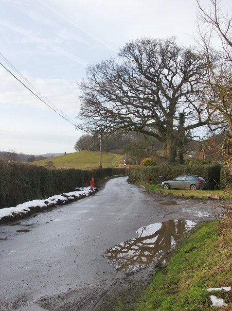
View north-west along Logmore Lane
Seen from close to the turning which leads to Brook Farm. In shaded spots a little snow has yet to melt - all that remains of snowfalls which began eight days earlier.
 Map © Crown Copyright")
TIP: Click the map for more Large scale mapping
- Grid Square
- TQ1447, 36 images (more nearby 🔍)
- Photographer
- Stefan Czapski (more nearby)
- Date Taken
- Saturday, 26 January, 2013 (more nearby)
- Submitted
- Saturday, 26 January, 2013
- Subject Location
-
OSGB36:
 TQ 1431 4735 [10m precision]
WGS84: 51:12.8353N 0:21.8875W - Camera Location
-
OSGB36: TQ 1442 4726
- View Direction
- Northwest (about 315 degrees)