2007
TQ7356 : Farmland beside the reservoir
taken 17 years ago, near to Royal British Legion Village, Kent, England
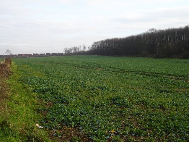
Farmland beside the reservoir
The reservoir seen in Link is out of shot to the left. The strip of woodland on the right, combines with the lie of the land to obscure Maidstone Hospital from view. The houses in the background are on estates in Allington.
 Map © Crown Copyright")
TIP: Click the map for more Large scale mapping
- Grid Square
- TQ7356, 58 images (more nearby 🔍)
- Photographer
- Penny Mayes (more nearby)
- Date Taken
- Monday, 5 February, 2007 (more nearby)
- Submitted
- Tuesday, 6 February, 2007
- Subject Location
-
OSGB36:
 TQ 735 561 [100m precision]
WGS84: 51:16.6621N 0:29.2133E - Camera Location
-
OSGB36: TQ 732 563
- View Direction
- Southeast (about 135 degrees)