2013
SE2803 : Blackergreen Lane
taken 11 years ago, near to Silkstone Common, Barnsley, England
This is 1 of 2 images, with title Blackergreen Lane in this square
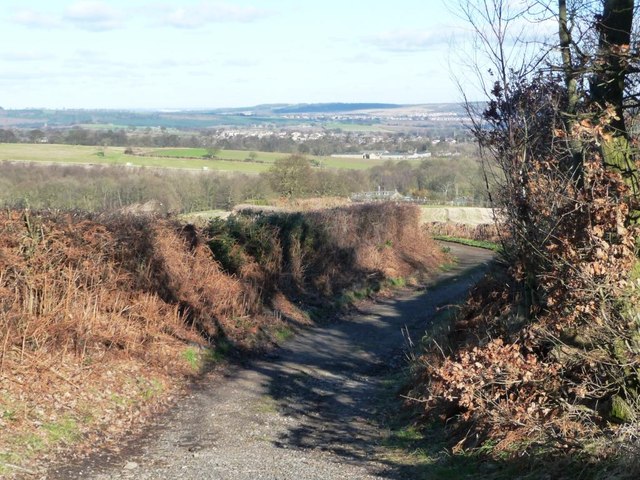
Blackergreen Lane
A bridleway dropping down to Lower Coates and distant Silkstone.
 Map © Crown Copyright")
TIP: Click the map for more Large scale mapping
- Grid Square
- SE2803, 51 images (more nearby 🔍)
- Photographer
- Christine Johnstone (more nearby)
- Date Taken
- Saturday, 2 February, 2013 (more nearby)
- Submitted
- Sunday, 3 February, 2013
- Subject Location
-
OSGB36:
 SE 2817 0369 [10m precision]
WGS84: 53:31.7472N 1:34.5907W - Camera Location
-
OSGB36: SE 2816 0367
- View Direction
- North-northeast (about 22 degrees)