2013
SJ4365 : Windmill Lane (Unadopted), Christleton
taken 11 years ago, near to Littleton, Cheshire West And Chester, England
This is 1 of 2 images, with title starting with Windmill Lane in this square
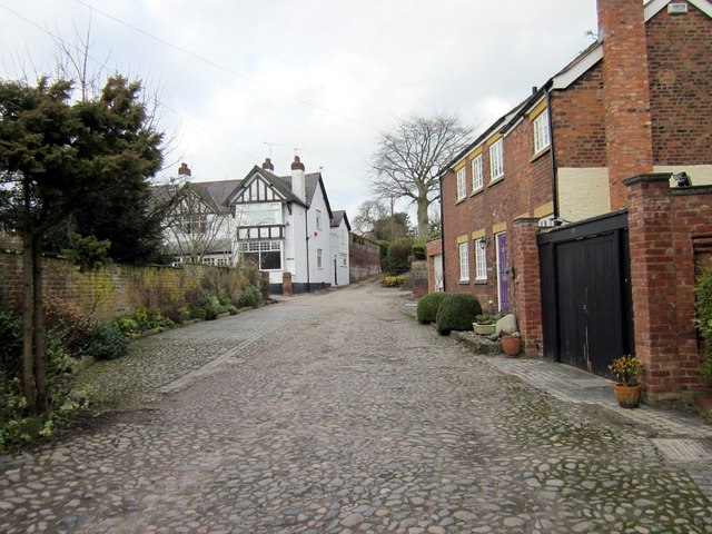
Windmill Lane (Unadopted), Christleton
 Map © Crown Copyright")
TIP: Click the map for more Large scale mapping
- Grid Square
- SJ4365, 80 images (more nearby 🔍)
- Photographer
- Jeff Buck (more nearby)
- Date Taken
- Monday, 4 February, 2013 (more nearby)
- Submitted
- Monday, 4 February, 2013
- Subject Location
-
OSGB36:
 SJ 4395 6568 [10m precision]
WGS84: 53:11.1148N 2:50.4135W - Camera Location
-
OSGB36: SJ 4396 6567
- View Direction
- North-northwest (about 337 degrees)