2010
SH8623 : Erw y Ddafad-ddu
taken 14 years ago, near to Foel Fawr [hill or Mountain], Gwynedd, Great Britain
This is 1 of 6 images, with title Erw y Ddafad-ddu in this square
Erw y Ddafad-ddu
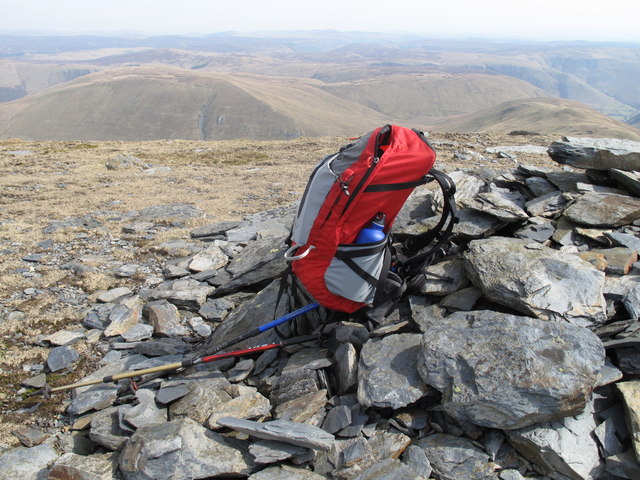
Following Nuttall route 8.1, warm clear summer day in April.
Name: Erw y Ddafad-ddu
Hill number: 2085
Height: 872m / 2861ft
Area: 30E: Bala to Welshpool
Class: Hew,N
Grid ref: SH 86478 23388
Summit feature: cairn
Drop: 37m
Col: 835m SH864237
Name: Erw y Ddafad-ddu
Hill number: 2085
Height: 872m / 2861ft
Area: 30E: Bala to Welshpool
Class: Hew,N
Grid ref: SH 86478 23388
Summit feature: cairn
Drop: 37m
Col: 835m SH864237
 Map © Crown Copyright")
TIP: Click the map for more Large scale mapping
- Grid Square
- SH8623, 39 images (more nearby 🔍)
- Photographer
- Rude Health (more nearby)
- Date Taken
- Saturday, 10 April, 2010 (more nearby)
- Submitted
- Saturday, 9 February, 2013
- Subject Location
-
OSGB36:
 SH 8647 2337 [10m precision]
WGS84: 52:47.7546N 3:41.1131W - Camera Location
-
OSGB36: SH 8647 2339
- View Direction
- South-southwest (about 202 degrees)