2013
SE4602 : Lowfield Meadows
taken 11 years ago, near to Bolton Upon Dearne, Barnsley, England
This is 1 of 2 images, with title starting with Lowfield in this square
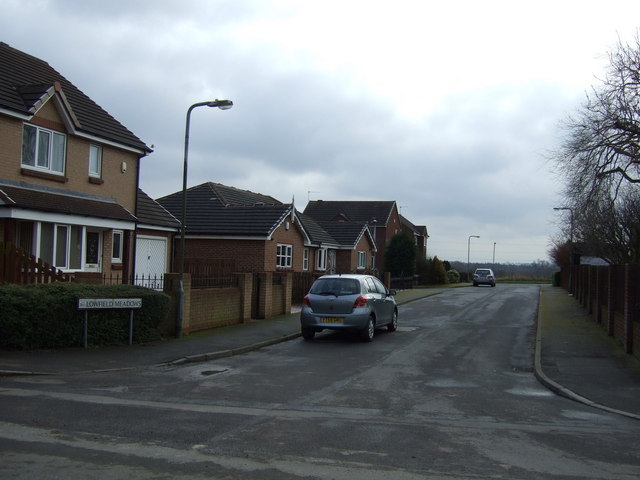
Lowfield Meadows
 Map © Crown Copyright")
TIP: Click the map for more Large scale mapping
- Grid Square
- SE4602, 27 images (more nearby 🔍)
- Photographer
- JThomas (more nearby)
- Date Taken
- Saturday, 9 February, 2013 (more nearby)
- Submitted
- Sunday, 10 February, 2013
- Subject Location
-
OSGB36:
 SE 4603 0252 [10m precision]
WGS84: 53:31.0408N 1:18.4364W - Camera Location
-
OSGB36: SE 46043 02551
- View Direction
- South-southwest (about 202 degrees)