2013
SE3410 : Heading towards Royston
taken 11 years ago, near to Staincross, Barnsley, England
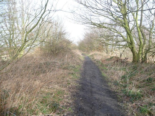
Heading towards Royston
This former railway line closed to passengers in 1930, and to freight in 1961. It is now part of the Royston and Carlton boundary walk.
 Map © Crown Copyright")
TIP: Click the map for more Large scale mapping
- Grid Square
- SE3410, 24 images (more nearby 🔍)
- Photographer
- Christine Johnstone (more nearby)
- Date Taken
- Saturday, 16 February, 2013 (more nearby)
- Submitted
- Saturday, 16 February, 2013
- Subject Location
-
OSGB36:
 SE 3432 1047 [10m precision]
WGS84: 53:35.3816N 1:28.9799W - Camera Location
-
OSGB36: SE 3431 1044
- View Direction
- North-northeast (about 22 degrees)