2013

SD2465 : Rampside Sands

taken 11 years ago, near to Rampside, Cumbria, England

This is 1 of 2 images, with title Rampside Sands in this square
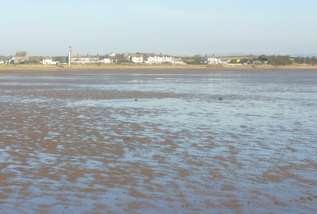
Rampside Sands
Rampside Sands
Looking across Rampside Sands to Rampside village. The tower on the left is known locally as the Rampside Needle Link further left the house with 12 chimneys is Rampside Hall Link

Creative Commons Licence [Some Rights Reserved]   © Copyright Stephen Middlemiss and licensed for reuse under this Creative Commons Licence.
Geographical Context: Coastal Estuary, Marine
This photo is linked from: Automatic Clusters: · Rampside Sands [4] · Left [3] · Looking [2] · Rampside Needle [2] Title Clusters: · Rampside Sands [2] ·
1:50,000 Modern Day Landranger(TM) Map © Crown Copyright
+
1:50,000 Modern Day Landranger(TM) Map © Crown Copyright
TIP: Click the map for more Large scale mapping
Grid Square
SD2465, 5 images   (more nearby 🔍)
Photographer
Stephen Middlemiss   (more nearby)
Date Taken
Sunday, 17 February, 2013   (more nearby)
Submitted
Monday, 18 February, 2013
Subject Location
OSGB36: geotagged! SD 243 656 [100m precision]
WGS84: 54:4.8439N 3:9.5145W
Camera Location
OSGB36: geotagged! SD 243 656
View Direction
NORTH (about 0 degrees)
Clickable map
+
NW N NE
W Go E
SW S SE
Image classification(about): Geograph
This page has been viewed about 43 times
You are not logged in login | register