2005
NT1967 : Kinleith Mill
taken 19 years ago, near to Currie, Edinburgh, Scotland
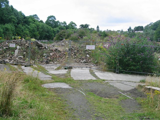
Kinleith Mill
The entrance to the former mill complex beside the Water of Leith is tucked into the northwest corner of this Pentland square. Photo taken from the walkway a former railway line. Note the rails going into the site. Derelict for years it is planned to develop the site for housing.
 Map © Crown Copyright")
TIP: Click the map for more Large scale mapping
- Grid Square
- NT1967, 43 images (more nearby 🔍)
- Photographer
- Richard Webb (more nearby)
- Date Taken
- Thursday, 4 August, 2005 (more nearby)
- Submitted
- Thursday, 4 August, 2005
- Subject Location
-
OSGB36:
 NT 190 679 [100m precision]
WGS84: 55:53.8429N 3:17.8136W