2010
TL1644 : Track to Kings Hill Farm
taken 14 years ago, near to Upper Caldecote, Central Bedfordshire, England
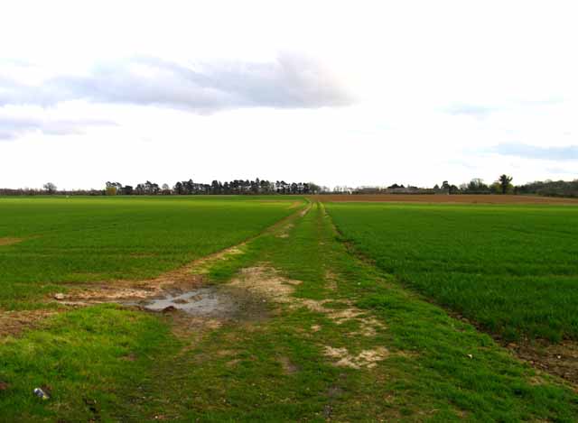
Track to Kings Hill Farm
 Map © Crown Copyright")
TIP: Click the map for more Large scale mapping
- Grid Square
- TL1644, 17 images (more nearby 🔍)
- Photographer
- Andrew Tatlow (more nearby)
- Date Taken
- Monday, 5 April, 2010 (more nearby)
- Submitted
- Thursday, 28 February, 2013
- Subject Location
-
OSGB36:
 TL 1616 4482 [10m precision]
WGS84: 52:5.3728N 0:18.3582W - Camera Location
-
OSGB36: TL 1614 4494
- View Direction
- SOUTH (about 180 degrees)