2013
NS3175 : Housing development at Kingston Dock
taken 11 years ago, near to Port Glasgow, Inverclyde, Scotland
This is 1 of 7 images, with title Housing development at Kingston Dock in this square
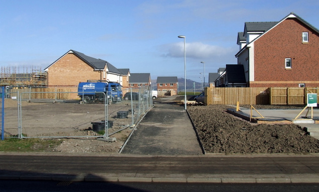
Housing development at Kingston Dock
The former Kingston shipyard fitting-out basin filled in 2008.
Here is a view of the dock at this same location in 2007 NS3175 : Kingston Basin.
Here is a view of the dock at this same location in 2007 NS3175 : Kingston Basin.
 Map © Crown Copyright")
TIP: Click the map for more Large scale mapping
- Grid Square
- NS3175, 196 images (more nearby 🔍)
- Photographer
- Thomas Nugent (more nearby)
- Date Taken
- Friday, 1 March, 2013 (more nearby)
- Submitted
- Tuesday, 5 March, 2013
- Subject Location
-
OSGB36:
 NS 3113 7509 [10m precision]
WGS84: 55:56.3465N 4:42.3161W - Camera Location
-
OSGB36: NS 3111 7503
- View Direction
- North-northeast (about 22 degrees)