2006
SX8874 : Wood edge by Humber Lane
taken 18 years ago, near to Sandygate, Devon, England
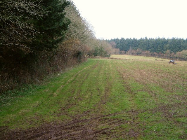
Wood edge by Humber Lane
The edge of Vaseford Copse, from where the lane passes between it and Durley Wood. In the background is King's Wood.
 Map © Crown Copyright")
TIP: Click the map for more Large scale mapping
- Grid Square
- SX8874, 19 images (more nearby 🔍)
- Photographer
- Derek Harper (more nearby)
- Date Taken
- Sunday, 19 March, 2006 (more nearby)
- Submitted
- Thursday, 7 March, 2013
- Subject Location
-
OSGB36:
 SX 8843 7473 [10m precision]
WGS84: 50:33.6984N 3:34.5936W - Camera Location
-
OSGB36: SX 8858 7470
- View Direction
- West-northwest (about 292 degrees)