2003
NT5185 : Edge Of Yellow Craig Plantation
taken 20 years ago, near to Dirleton, East Lothian, Scotland
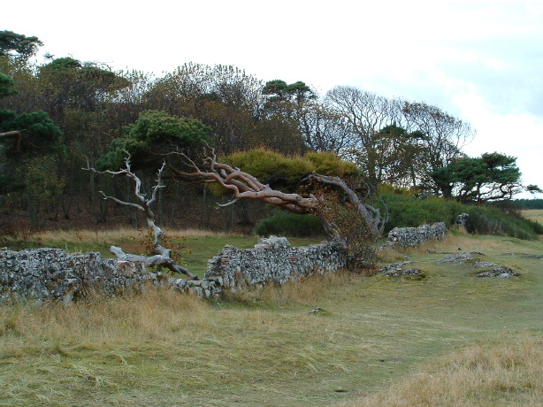
Edge Of Yellow Craig Plantation
Here we see the border between the woods, with the wind stunted pine, and the grass land which leads down to the beach. The turf is kept short by rabbits grazing.
 Map © Crown Copyright")
TIP: Click the map for more Large scale mapping
- Grid Square
- NT5185, 101 images (more nearby 🔍)
- Photographer
- DAVID JOHN SHERLOCK (more nearby)
- Date Taken
- Saturday, 25 October, 2003 (more nearby)
- Submitted
- Monday, 12 February, 2007
- Subject Location
-
OSGB36:
 NT 519 857 [100m precision]
WGS84: 56:3.7244N 2:46.4230W - Camera Location
-
OSGB36: NT 519 857
- View Direction
- West-southwest (about 247 degrees)