1980
SX8487 : Field path to Doddiscombsleigh
taken 44 years ago, near to Doddiscombsleigh, Devon, England
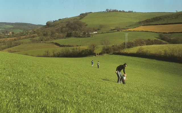
Field path to Doddiscombsleigh
A view across the field shown over 30 years later in SX8487 : Countryside near Doddiscombsleigh, following Doddiscombsleigh Footpath 5a with Woodah Farm ahead.
 Map © Crown Copyright")
TIP: Click the map for more Large scale mapping
- Grid Square
- SX8487, 43 images (more nearby 🔍)
- Photographer
- Derek Harper (more nearby)
- Date Taken
- April 1980 (more nearby)
- Submitted
- Wednesday, 13 March, 2013
- Subject Location
-
OSGB36:
 SX 842 871 [100m precision]
WGS84: 50:40.3207N 3:38.4072W - Camera Location
-
OSGB36: SX 841 872
- View Direction
- Southeast (about 135 degrees)