2013
SX2672 : Path paved with stone to help transport quarried stone
taken 11 years ago, near to Minions, Cornwall, England
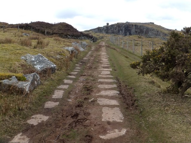
Path paved with stone to help transport quarried stone
This track across the moor provided a gentle slope for wagons going to and from the mines and quarries near the Cheesewring (the weathered stone above the quarry face)
 Map © Crown Copyright")
TIP: Click the map for more Large scale mapping
- Grid Square
- SX2672, 41 images (more nearby 🔍)
- Photographer
- David Smith (more nearby)
- Date Taken
- Wednesday, 20 March, 2013 (more nearby)
- Submitted
- Monday, 25 March, 2013
- Subject Location
-
OSGB36:
 SX 2603 7211 [10m precision]
WGS84: 50:31.3709N 4:27.3374W - Camera Location
-
OSGB36: SX 2604 7209
- View Direction
- North-northwest (about 337 degrees)