2013
G8888 : Ruin at foot of Carnaween
taken 11 years ago, 6 km N of Letterbarra, Co Donegal, Ireland
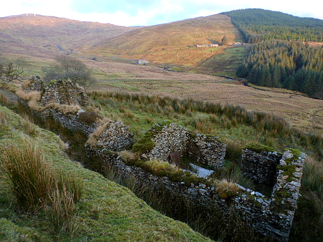
Ruin at foot of Carnaween
The easterly slope of the valley where too a livelihood was once eked out.
Loading map... (JavaScript required)
- Grid Square
- G8888, 4 images (more nearby 🔍)
- Photographer
- louise price (more nearby)
- Date Taken
- Saturday, 12 January, 2013 (more nearby)
- Submitted
- Monday, 1 April, 2013
- Subject Location
-
Irish:
 G 881 885 [100m precision]
WGS84: 54:44.7083N 8:11.1131W - Camera Location
-
Irish: G 880 885
- View Direction
- Northeast (about 45 degrees)