2013
ST5311 : Water trough and Isles Farm
taken 11 years ago, near to Pendomer, Somerset, England
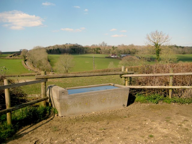
Water trough and Isles Farm
Looking over the water trough near where the footpath crosses the lane down to Wickets Beer, one can see Isles Farm with Sleight Plantation behind.
 Map © Crown Copyright")
TIP: Click the map for more Large scale mapping
- Grid Square
- ST5311, 14 images (more nearby 🔍)
- Photographer
- Sarah Smith (more nearby)
- Date Taken
- Tuesday, 2 April, 2013 (more nearby)
- Submitted
- Tuesday, 2 April, 2013
- Subject Location
-
OSGB36:
 ST 5314 1126 [10m precision]
WGS84: 50:53.9343N 2:40.0631W - Camera Location
-
OSGB36: ST 5314 1125
- View Direction
- North-northeast (about 22 degrees)