2013
NT9149 : River Tweed - Approaching St Thomas's Island
taken 11 years ago, near to Horncliffe, Northumberland, England
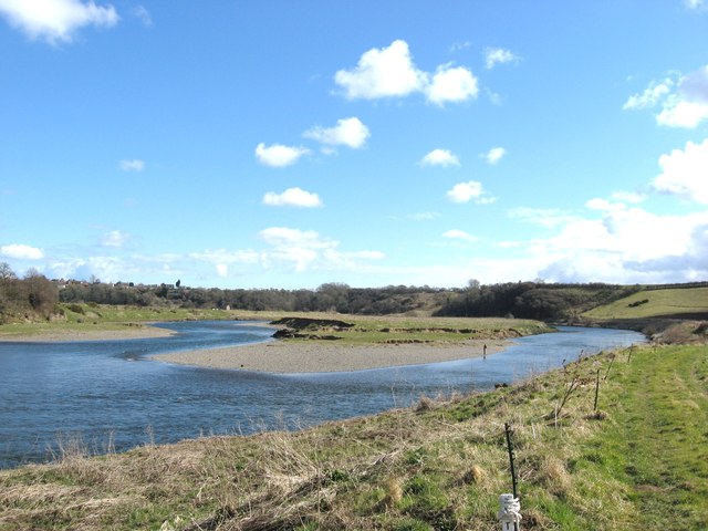
River Tweed - Approaching St Thomas's Island
Looking downstream to St Thomas's Island near Horncliffe.
 Map © Crown Copyright")
TIP: Click the map for more Large scale mapping
- Grid Square
- NT9149, 17 images (more nearby 🔍)
- Photographer
- frank smith (more nearby)
- Date Taken
- Friday, 29 March, 2013 (more nearby)
- Submitted
- Friday, 5 April, 2013
- Subject Location
-
OSGB36:
 NT 9193 4952 [10m precision]
WGS84: 55:44.3401N 2:7.8055W - Camera Location
-
OSGB36: NT 9176 4957
- View Direction
- East-southeast (about 112 degrees)