2013
SU0703 : West Moors
taken 11 years ago, near to West Moors, Dorset, England
West Moors
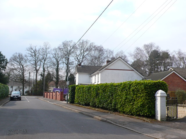
This is Denewood road on the northern side of the village, consisting mainly of detached houses. Along with Ferndown it is the northernmost extent of the Bournemouth Conurbation.
 Map © Crown Copyright")
TIP: Click the map for more Large scale mapping
- Grid Square
- SU0703, 28 images (more nearby 🔍)
- Photographer
- Nigel Mykura (more nearby)
- Date Taken
- Thursday, 28 March, 2013 (more nearby)
- Submitted
- Friday, 5 April, 2013
- Subject Location
-
OSGB36:
 SU 0794 0356 [10m precision]
WGS84: 50:49.8913N 1:53.3175W - Camera Location
-
OSGB36: SU 0789 0356
- View Direction
- EAST (about 90 degrees)