2007
SS9379 : Main Road Coychurch
taken 17 years ago, near to Coychurch, Bridgend/Pen-y-Bont ar Ogwr, Wales
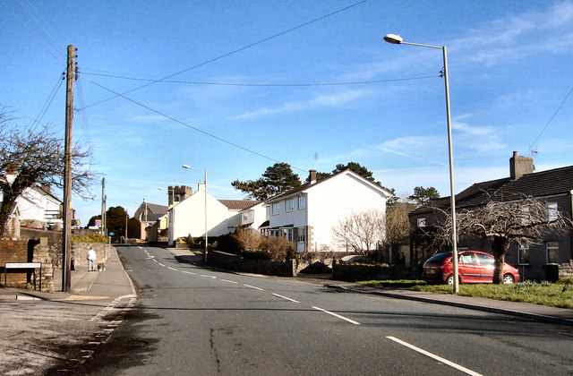
Main Road Coychurch
 Map © Crown Copyright")
TIP: Click the map for more Large scale mapping
- Grid Square
- SS9379, 135 images (more nearby 🔍)
- Photographer
- kenneth rees (more nearby)
- Date Taken
- Wednesday, 14 February, 2007 (more nearby)
- Submitted
- Friday, 16 February, 2007
- Subject Location
-
OSGB36:
 SS 937 795 [100m precision]
WGS84: 51:30.3138N 3:31.9012W - Camera Location
-
OSGB36: SS 936 794
- View Direction
- Northeast (about 45 degrees)