2013
TQ5944 : The Hastings Line
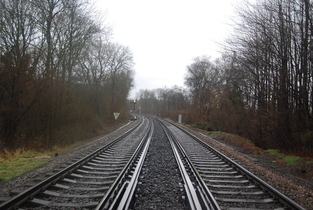
taken 11 years ago, near to Southborough, Kent, England
This is 1 of 9 images, with title The Hastings Line in this square
The Hastings Line
The Hastings Line links Hastings with Tunbridge Wells and Tonbridge, then onto London Charing Cross. The line was built by the South Eastern Railway (SER) and opened fully in 1853, having been constructed in phases. Tonbridge to Tunbridge Wells opened in 1846. Tunbridge Wells to Robertsbridge opened in 1851. Robertsbridge to Battle 1852 and Battle to St Leonards (Bo Peep Junction) 1853. The line was built very quickly (and not very well) and several of the tunnels need constant maintenance even today, several of them are single track.
Wikipedia: Link
See other images of Hastings Line
Wikipedia: Link
See other images of Hastings Line
 Map © Crown Copyright")
TIP: Click the map for more Large scale mapping
- Grid Square
- TQ5944, 416 images (more nearby 🔍)
- Photographer
- N Chadwick (more nearby)
- Date Taken
- Saturday, 16 March, 2013 (more nearby)
- Submitted
- Sunday, 7 April, 2013
- Subject Location
-
OSGB36:
 TQ 5939 4425 [10m precision]
WGS84: 51:10.5166N 0:16.7267E - Camera Location
-
OSGB36: TQ 5938 4419
- View Direction
- NORTH (about 0 degrees)