2013
SD6803 : Open land on the west side of Shakerley
taken 11 years ago, near to Tyldesley, Wigan, England
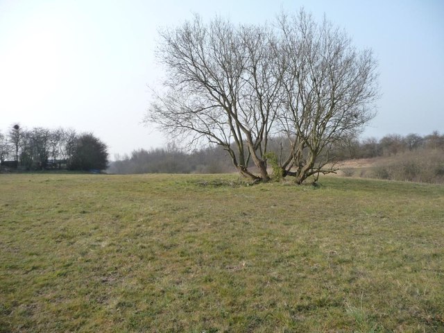
Open land on the west side of Shakerley
Between Crawford Avenue and Hindsford Brook.
 Map © Crown Copyright")
TIP: Click the map for more Large scale mapping
- Grid Square
- SD6803, 59 images (more nearby 🔍)
- Photographer
- Christine Johnstone (more nearby)
- Date Taken
- Wednesday, 10 April, 2013 (more nearby)
- Submitted
- Thursday, 11 April, 2013
- Subject Location
-
OSGB36:
 SD 6880 0309 [10m precision]
WGS84: 53:31.4126N 2:28.3246W - Camera Location
-
OSGB36: SD 6882 0312
- View Direction
- Southwest (about 225 degrees)