2013
TL7992 : Surfaced forest track
taken 11 years ago, near to Mundford, Norfolk, England
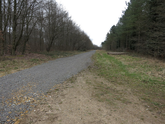
Surfaced forest track
Major forest route to the A1065.
 Map © Crown Copyright")
TIP: Click the map for more Large scale mapping
- Grid Square
- TL7992, 5 images (more nearby 🔍)
- Photographer
- Hugh Venables (more nearby)
- Date Taken
- Friday, 29 March, 2013 (more nearby)
- Submitted
- Thursday, 11 April, 2013
- Subject Location
-
OSGB36:
 TL 7918 9206 [10m precision]
WGS84: 52:29.8204N 0:38.2856E - Camera Location
-
OSGB36: TL 79086 92096
- View Direction
- East-southeast (about 112 degrees)